Directions
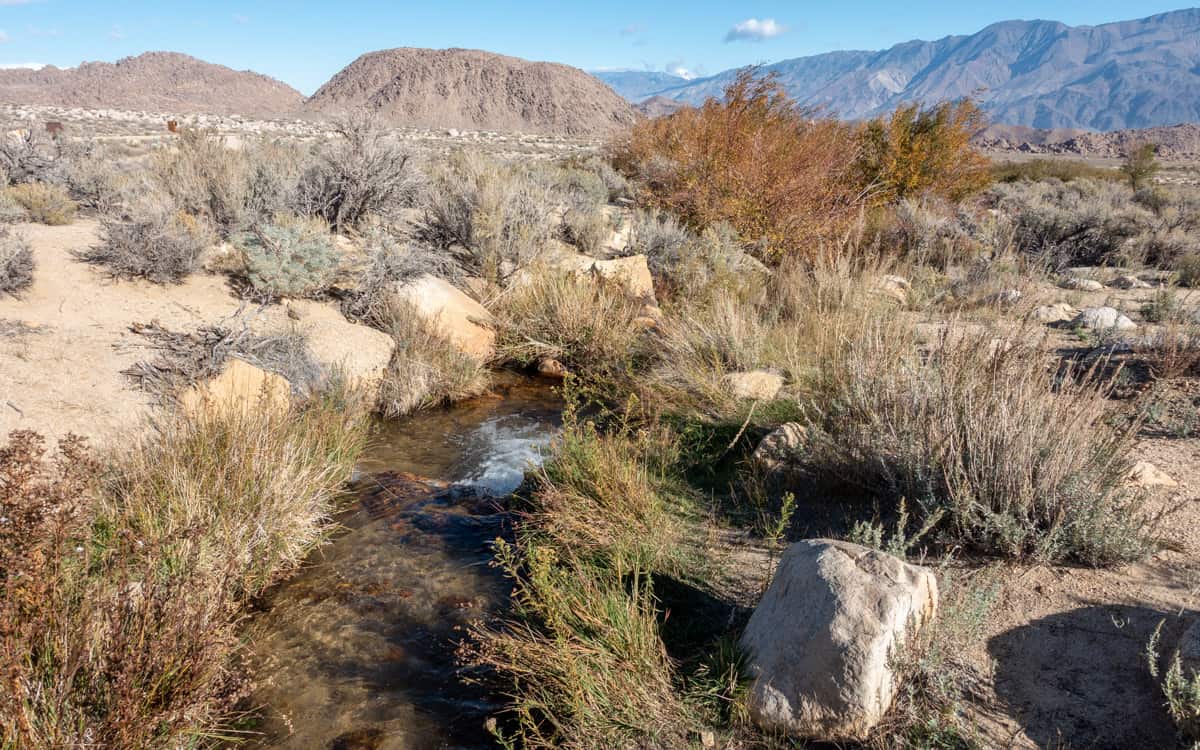
From Highway 395 in Lone Pine, turn west on Whitney Portal Rd. Continue on Whitney Portal Road for 3.1 miles to reach Horseshoe Meadows Rd. Turn left on Horseshoe Meadows Rd. Continue on Horseshoe Meadows Road for 1.6 miles to reach the turn off for Tuttle Creek Campground. The creek runs through the campground.
GPS Coordinates: 36.566066,-118.123168
Map
Nearby Fishing
| Lake Name | Miles Away |
|---|---|
| Lone Pine Creek | 2.88 miles |
| Diaz Lake | 3.82 miles |
| Cottonweed Creek | 9.3 miles |
| George Creek | 9.6 miles |
Nearby Campgrounds
| Campground Name | Miles Away |
|---|---|
| Tuttle Creek Campground | 0.05 miles |
| Diaz Lake Campground | 3.68 miles |
| Portagee Joe Campground | 3.71 miles |
| Lone Pine Campground | 4.05 miles |
| Whitney Portal Campground | 6.27 miles |